


Shirkuh Mountain ( Shirkooh Mountain )
City : Taft
Address : Taft, Yazd
Type of attractions : Natural
Visiting days : Every day
Best Time To Visit : Summer
Address : Taft, Yazd
Type of attractions : Natural
Visiting days : Every day
Best Time To Visit : Summer
Mountains are considered the most varied type of tourist attractions. Tourists have spent most of their leisure time in mountainous areas since a long time ago and their enthusiasm and demands to do exciting sports and visit the mountain ecosystems and its attractions are increasing.
.jpg)
About Shirkuh Mountain
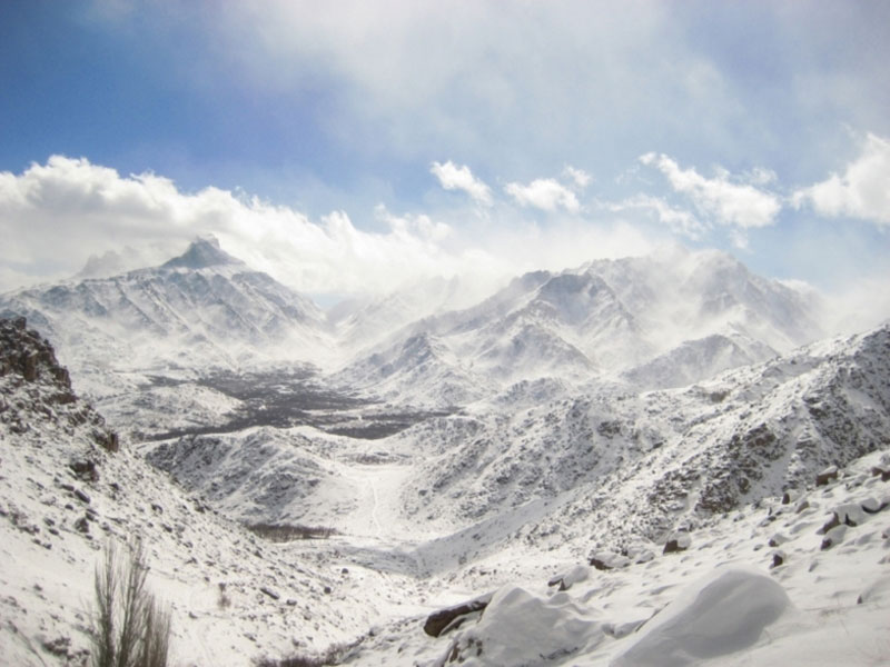
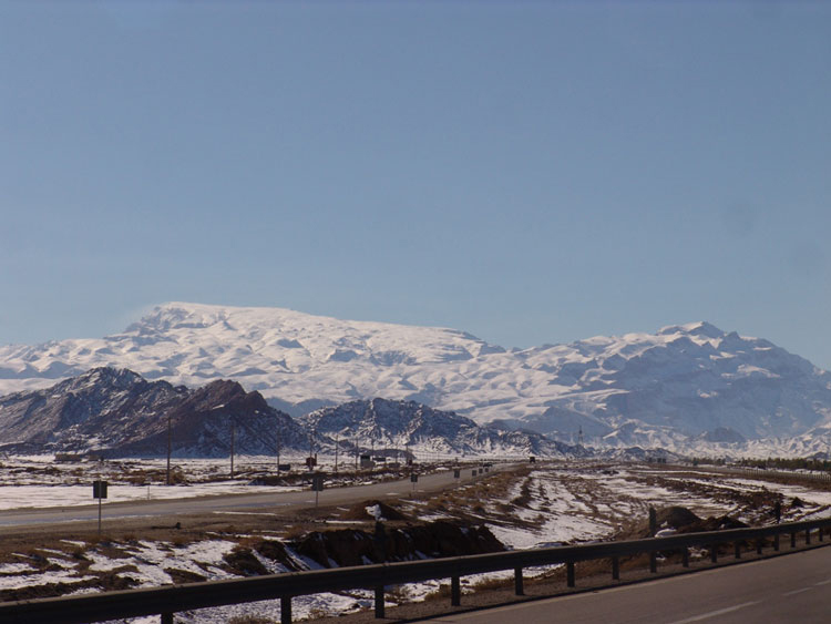
Being the highest peak in Yazd Province, Shirkuh is 4075 m above sea level and is a large mountain range as a part of Zagros Mountain. Shirkuh is surrounded by various lush villages that attract thousands of tourists and inhabitants of Yazd desert towns.
.jpg)
Why is it called Shirkuh?
Shirkuh in Persian is formed of two words: Shir meaning milk as well as lion, and kuh or kooh meaning mountain.
There are two reasons behind the etymology of the name of this mountain. First account says because most of the year this mountain is covered with snow, giving it a white color like milk; and the second account refers to the resemblance of the mountain to a lion sleeping on its hands, creating the image that in past there actually had been a lion with mane and grandeur, which is now in its hibernation. It must be mentioned that the second account is more popular by the locals.
To see this glorious mountain, people go to a summer village with nice weather, Deh Bala, which is always green and cool. In spite of the harsh cold weather of the village in winters, the kind and tolerant people of Deh Bala have never left this lion alone.
.jpg)
Shirkuh supplies water to Yazd
Shirkuh supplies water to Taft and Mehriz qanats, Poshtkuh and Pishkuh villages, and some of the ground waters of Yazd. Even the rainfalls in the nearby towns are because of Shirkuh creating an obstacle for the raincloud masses. In general, mountains are the richest reservoirs of biodiversity and, in periodical droughts, Shirkuh is the only desirable habitat in Yazd.
.jpg)
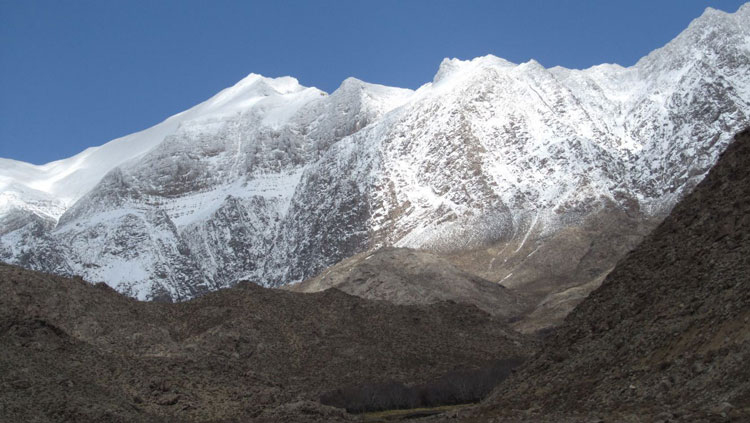
The Geological Features of Shirkuh in Yazd
However, and there is still controversy over when it was formed, the basis of Shirkuh is chiefly granite. More than 1000 meters of Dolomite and Limestone belonging to Cretaceous period were formed on these granites. A huge part of these limestone foundations, especially in southern areas of Shirkooh, has eroded and demolished. Some scattered red-colored-layers under the Cretaceous dolomite and limestone sediments, and in the southern outskirts of the mountain some extrusive igneous rock foundations belonging to the late Cenozoic and Quaternary periods can be seen. Some layers of travertine have been formed along with forming these sediments. Fluvial terraces have received the most attention among the geomorphological phenomena of Shirkuh.
.jpg)
Climbing Shirkuh Mountain
Every year a large number of climbers from all over the world ascend Shirkuh which can take 7 hours for professional climbers and a day for beginners to reach the summit.
.jpg)
The starting point of ascending to the Shirkuh summit and nearby peaks such as Barfkhaneh starts at the end of the Deh Bala village, next to the mosque of Sheikh Alishah district. You can drive a car to this point and 1 km after it, but the rest of the road is dirt track and should be passed on foot. From this point, the ascending height is about 2500 meters. On the ascending route, there are three springs always full of water, drinking their cool, clear water provides the energy for the rest of the way. The first spring is located next to the tall cottonwood trees, known as Tabestan Khane (Summer house) by the local people.
.jpg)
Traversing the entire route is through an apparent path, which is horizontal and with no change along the stonewalls, ending in Najib Valley. Only in Najib Valley, in virtue of being rocky, the track is a bit unclear. This valley is located between Hosseiniyeh and base camp and is the hardest part of the route. At the end of the valley, toward the west to the base camp, there is a slight slope and it is completely traverse again. There are three base camp, one of which is metal and newly built and metallic, with a floor covered with carpet. It has three sections, and 40 to 45 people fit in to sleep. The other two base camps, a large concrete structure fitting 20 people and small one which can fit 8 people, are covered with carpet and blanket. They are warmer and more insulating than the metallic one, and all three have toilets.
.jpg)
The rest of the route to Shirkuh summit, from the base camp to the summit, is a clear path with a gentle slope, and only the high wind speed and 4.5-kilometer snow-covered path make it a little harsh. Nevertheless, reaching the peak refreshes the body, and expressing the enthusiasm of conquering a peak is ineffable and the feeling of reaching the peak is like finding a precious treasure trove.
For more information about Shirkuh Mountain of Yazd, please contact Raadina Online Support.
Online Support
FAQ
For commenting log in or sign up
For commenting log in or sign up
